Mapping Maritime Mindsets: Towards a Shared Methodology
Yvonne van Mil, Vincent Baptist, Thomas van den Brink, Tianchen Dai, Hilde Sennema
The PortCityFutures team aims to study port city ecosystems and the concepts of ‘maritime mindsets, port city cultures and values’ from a variety of disciplinary angles. In our subgroup, consisting of four PhD researchers and one postdoc, we assess various mapping techniques (geo-spatial, socio-cultural and mental mapping) to move towards a shared research methodology. In a blog series under the title ‘Mapping Maritime Mindsets’, we will monitor, document and share our research progress on mapping port city regions, and especially address the theoretical and methodological issues that we face during the process. Moreover, we ask guest writers to reflect on related themes and projects.
Port cities are complicated research subjects. Their location on the edge of land and water makes them unique territories with special facilities and opportunities. Stakeholders and legal systems of the ports, the cities and their surrounding rural areas, however, have to co-exist in limited territories and compete for space, while they pursue divergent goals (Hein 2019). Researching this complexity and historical developments of the spaces in which they took place, requires multidisciplinary research approaches. To better understand and visualize this complexity, we use the conceptual practice of ‘deep mapping’ (Bodenhamer et al. 2010 & 2015; Roberts 2016) as a way to develop an overarching methodology to analyse port city regions. To test our approach and the implications of combining expertise from spatial and social sciences and the humanities, we are first focusing on port cities around the North Sea.
The idea of a deep map goes beyond traditional mapping methods, as it helps to better comprehend the complexity of space-time interactions. In the 1990s, the term garnered popular interest through the book PrairyErth: A Deep Map (1991) by the American historian and travel writer William Least Heat-Moon. In this book, Least Heat-Moon has undertaken a vast survey of the Kansas plains to show that the state’s landscape and history are not merely related to its land, plants, animals and people, but also pertain to experiences, languages, thoughts, memories and expectations. In this sense, a deep map becomes a map of a particular place, rather than a space, that unearths and makes comprehensible the intricacies embedded in a certain locality.
Moreover, the concept of a deep map corresponds to the ways in which advanced geographic information systems (GIS) work: they operate as a series of layers, each representing a different theme or perspective tied to a specific location or geographical area on the earth. These layers are transparent and superimposable, so that users can make any layer or combination of layers visible, while leaving others invisible. This functionality enables interdisciplinary collaborations, as is the case with research projects such as the European and Amsterdam Time Machine, and A Deep Map of the English Lake District. Building on these examples, we propose to make a deep map of socio-cultural heritage and relations in port city regions.
As a first step towards a shared methodology, we reviewed documents introducing world cultural heritages and national heritages (within the North Sea region) that are port-related, subsequently extracted all the words related to the concept of maritime heritage, and finally proposed a cluster of inclusive and balanced definitions that cover and classify terms related to port city regions. We see these definitions as a shared language for conceptual and practical uses, aiding us with systematic data mining and mapping. Such a shared terminology allows us to compare similar types of port-related features around the world, while taking into account connotations and interpretations of various terms in different languages. To give one example, storage facilities at ports can be termed as ‘warehouses’ in English, ‘magazijnen’ in Dutch, ‘Speicher’ in German, ‘entrepôts’ in French and ‘godowns’ in South and East Asian contexts. Different terms may denote different meanings, and even the same term can trigger diverse images with various connotations in people’s minds, as a result of different cultural backgrounds. A shared terminology can help in mediating these various meanings. As a tool, it helps to smooth out potential misunderstandings – generated by different languages and cultural backgrounds – and therefore enables us to map systematically and more accurately.
The methodology we aim to develop will help us understand the port city as a contact zone of complex economic, social, cultural and governmental interactions, both in the past and the present. Around this shared aim, we develop separate projects ranging from historical pleasurescapes to cruise ship tourism, and from maritime commodity chains to urban business networks and spatial interventions in port city regions. For us, deep mapping is a way of sharpening concepts around maritime mindsets, developing a shared methodology and in doing so, contributing to the wider PortCityFutures research mission.
Acknowledgement
This blog has been written in the context of discussions in the LDE PortCityFutures team. It reflects the evolving thoughts among group members on the socio-spatial and cultural questions surrounding port city relationships. Thanks for comments and reviews to Carola Hein and Sarah Hinman.
References
Bodenhamer, D. J., et al. (eds.) (2010). The Spatial Humanities: GIS and the Future of Humanities Scholarship. Bloomington & Indianapolis, Indiana University Press.
Bodemhamer, D. J., et al. (eds.) (2015). Deep Maps and Spatial Narratives. Bloomington & Indianapolis, Indiana University Press.
Hein, C., (2019). “The Port Cityscape: Spatial and Institutional Approaches to Port City Relationships”.PORTUSplus 8.
Least Heat-Moon, W. (1991). PrairyErth: A Deep Map. Boston, Houghton Mifflin Company.
Roberts, Les (ed.) (2016). Deep Mapping. Special Issue of ‘Humanities’, MDPI. https://www.mdpi.com/books/pdfview/book/201.
Deep mapping examples
A Deep Map of the English Lake District. Lancaster University. http://wp.lancs.ac.uk/lakesdeepmap/
Amsterdam Time Machine. University of Amsterdam. https://amsterdamtimemachine.nl/.
European Time Machine. Time Machine Organisation. https://www.timemachine.eu/.
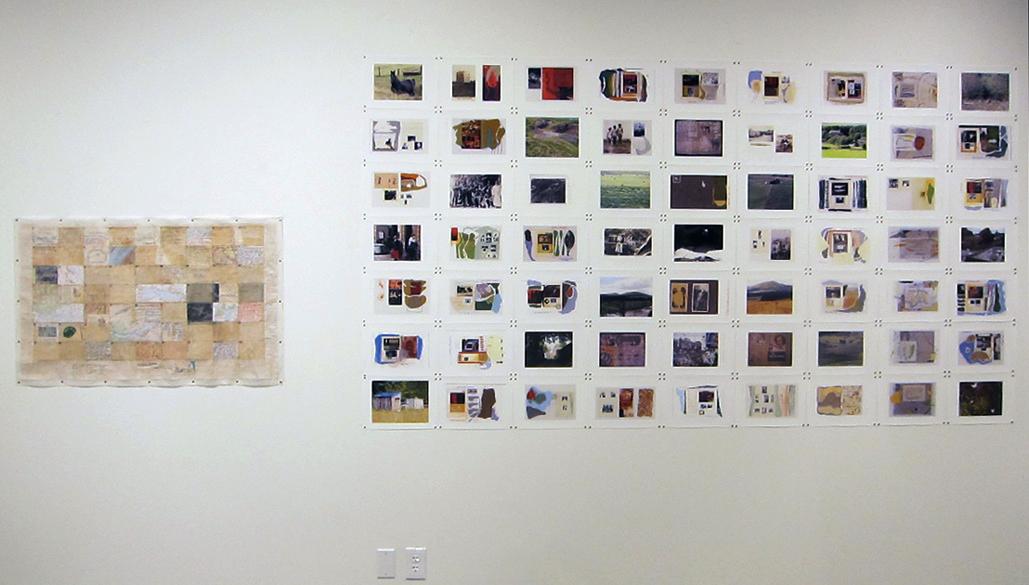
The banner image has been kindly made available by Dr. Iain Biggs, from his exhibition Notes Towards a Deep Mapping (2012).